Lover’s Lane
The Presidio
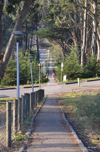
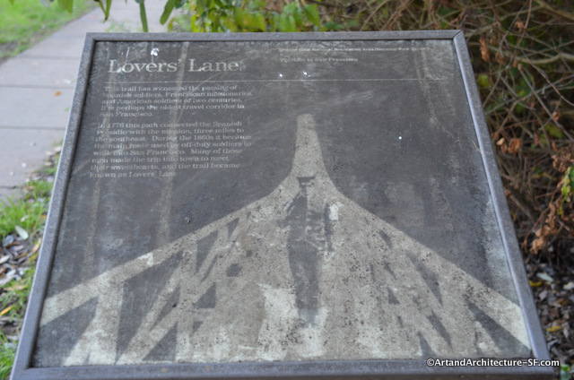
There is a small trail in the Presidio titled Lover’s Lane. It has a well known history that you can read on the plaque found at one end of what is still existing of this trail.
The sign reads: “This trail has witnessed the passing of Spanish soldiers, Franciscan missionaries and American soldiers of two centuries It is perhaps the oldest travel corridor in San Francisco. In 1776 this path connected the Spanish Presidio with the mission, three miles to the southeast. During the 1860s it became the main route used by off-duty solders to walk into San Francisco. Many of those men made the trip into town to meet their sweethearts, and the trail became known as Lovers’ Lane.”
Keep in mind that when they say walk into San Francisco, San Francisco at that time was the mission. However, what you also must keep in mind is that those three miles were sand dunes. That is right, not nice dirt trails, or gravel roads but hard to trod, rolling hills of sand.
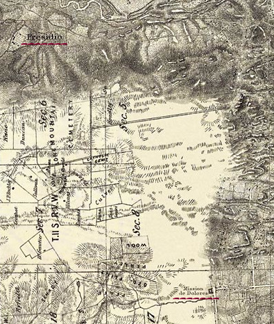
This map is a compilation of several maps from the 1860’s, remember lovers lane began in 1776. I have underlined in red the Presidio at the top and the Mission on the bottom right. The original, and enlargeable map can be found here. It is part of the San Francisco Watershed Finder series of maps. This series of maps was put together with the help of Joel Pomerantz of ThinkWalks, Joel gives walks all over town to discuss these watersheds and the hidden streams and creeks of San Francisco.
If you aren’t really great at reading topo maps here are some photos from San Francisco, while from the late 1800s and early 1900s sand dunes were still prevalent.
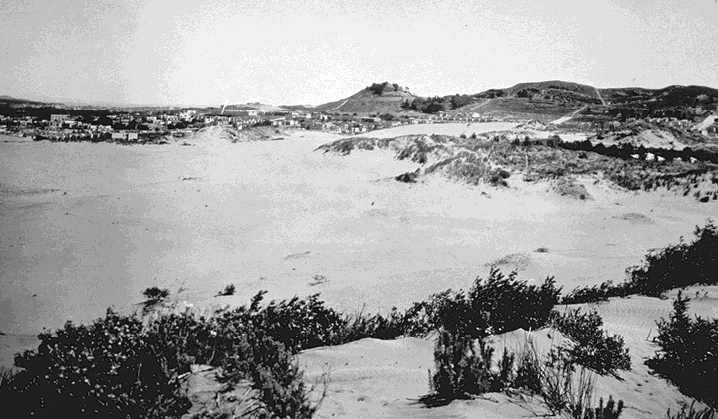
Late 19th Century
The Richmond District looking towards Lone Mountain
Photograph from a Private Collection
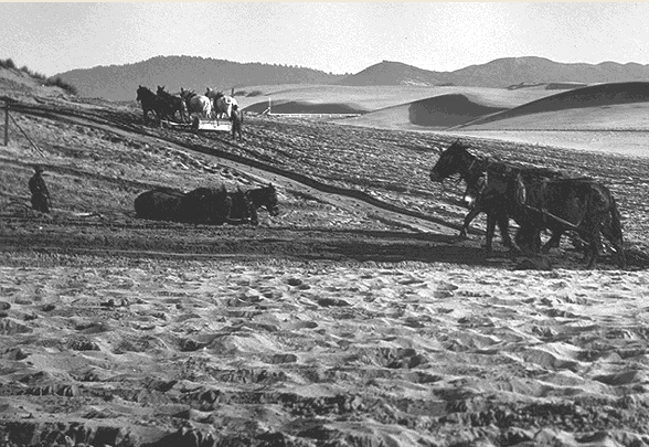
Golden Gate Park construction with the Sunset District in the back – 1900
Photo courtesy of Greg Gaar
So imagine how hard it must have been to trod for 3 miles over these sand dunes. Also, in 1776, these would have been the Spanish soldiers that came with Juan Bautista de Anza, and I am rather sure their boots weren’t the easiest to cross these sand dunes in either. The need to get back to town had to have been rather pressing to make a trek like that.
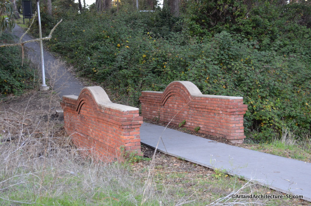
This bridge, which marks either the end or beginning of your trip, depending on where you start, was built around 1885. The bridge crosses Tennessee Hollow and a creek, whose source is El Polin Spring.
The presence of the spring was a reason that the Presidio was a viable place for a garrison. While not enough water for cattle and crops, which is why the Mission is 3 miles away, it was enough for horses and men. During the Spanish American War of 1898, the First Tennessee Volunteer Infantry Regiment camped here, providing the name Tennessee Hollow.
While walking the Lover’s Lane path keep an eye out for Andy Goldsworthy’s Wood Line.
